Lange's Dugway - Red Cliffs Desert Reserve
Difficulty Level: Moderate
Distance: 10.1 miles round trip
TRAIL SUMMARY
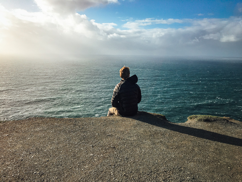
Starting from Black Gulch trailhead, the trail for Lange’s Dugway runs towards Diamond Valley. This single dirt path is easy to follow and offers some good views. Snow Canyon and Pine Valley Mountain are occasionally seen during the hike. The does have a little bit of climb bit it is too bad. Black Gulch and Alger Hollow can be accessed as the trail offers connecting points for both. Because of the length, the trail is moderate to strenuous. Upper Snow Canyon can be seen about 3-4 miles in. A lot of wildlife, especially various lizards, are found along the path. The map below shows the trail as it stretches towards private property in diamond valley. Overall, this trail can offer some good views but can get long.
TRAIL DETAILS
DIFFICULTY LEVEL
Moderate
ROUND TRIP LENGTH
10.1 miles round trip
AVERAGE HIKE TIME
GPS COORDINATES
PROPERTY MANAGEMENT
Red Cliffs Desert Reserve
DISTANCE FROM ST GEORGE
9.1 miles (19 mins driving)
RESTROOM FACILITIES
No Restroom Available
HIKERS ALLOWED
Yes
DOGS ALLOWED
Yes
BIKERS ALLOWED
No
EQUESTRIAN ALLOWED
Yes
HIKE TYPE
Out & Back
BEST TIME OF THE YEAR TO HIKE
Spring, Fall, Winter
BEST TIME OF THE DAY TO HIKE
Morning
GROUP LIMIT
No Limit
PERMIT INFORMATION
No Permit Required
COST
No Cost
WATER SOURCES AVAILABLE
No Water Sources Available
CAMP SITES
No Camping Available on Trail
TRAIL CONDITIONS
Dirt Single Track
SUN EXPOSURE
Full Sun Exposure


DIRECTIONS TO TRAILHEAD
Direction to Trailhead: From St George, head north on S 700 E toward E 600 S. Turn right onto St George Blvd. At the intersection, turn left onto N 1000 E then turn right onto E Red Hills Pkwy at the light. After 0.9 miles, turn left onto Cottonwood Springs Rd. Continue straight as road turns into Old Dump Rd and keep a left when road bends.
The Black Gulch trailhead and parking will be on the right after about 5 miles. There is a parking lot at the trailhead with multiple places to parking. Access to the Lange’s Dugway trail is found across the street.
Important: Old Dump Rd is becomes a dirt road.
FLORA AND FAUNA
Plants: Typical plant life for Southern Utah lowland hiking.
Animals: Typical animal life for Southern Utah lowland hiking.
TRAIL REPORT
Coming Soon.
ABOUT THE AUTHOR
Spencer McMullin
Spencer McMullin is originally from Connecticut but has deep ties to the Southern Utah area. His passion for adventure and photography has lead him to HikeStGeorge.


Leave a Reply
Want to join the discussion?Feel free to contribute!