


Leave a Reply
Want to join the discussion?Feel free to contribute!
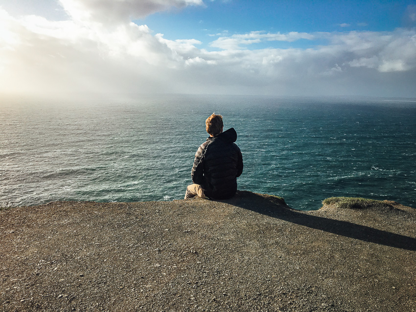
City Creek is found along the trail for Owen’s Loop. It runs for three miles until connecting with Rusty Cliffs at an underpass under Red Hills Pkwy. The trail is popular for its view of The Ledges golf course which the path follows along the rim for a stretch. Red Hills Pkwy is also seen throughout the hike and there are some decent views of St. George as well. Overall, the path is clear and easy to follow. There are signs as well but the path can get confusing when connecting with Rusty Cliffs. At the last decent there is an option to go left or right. Left heads to the underpass and Rusty Cliffs and the options on the right connects with Red Hills Pkwy. The map below shows both options. Bikers are also found along the hike so please be ready to share the path. Wildlife and even desert tortoises are encountered in this area. Please be respectful.
Note: Trail is accessed almost a mile into Owen’s Loop or directly from Red Hills Pkwy
Moderate
6.1 miles round trip
BLM, Red Cliffs Desert Reserve, St George City
3 miles (6 mins driving 15 mins hiking to trail)
No Restroom Available
Yes
Yes, on 6 ft leash
Yes
No
Out & Back
Spring, Fall, Winter
Morning, Afternoon
No Limit
No Permit Required
No Cost
No Water Sources Available
No Camping Available on Trail
Dirt Single Track, Dirt Double Track
Full Sun Exposure
Directions to trailhead: From 1-15 Exit 8, turn west on St. George Boulevard. Immediately turn right at the first traffic light onto 1000 E. Turn left onto Red Hills Parkway. Continue 1.2 miles on the parkway. Turn left onto Skyline Drive and then your first right onto Hope Street. At the traffic circle take the first exit heading north on Main Street. In 300 ft you will see a park on your right (Brooks Nature Park). Hike up Brooks Nature Trail and you will meet up with Owen’s Loop Trail.
Plants: Typical plant life for Southern Utah lowland hiking.
Animals: Typical animal life for Southern Utah lowland hiking.
Coming Soon.
Spencer McMullin is originally from Connecticut but has deep ties to the Southern Utah area. His passion for adventure and photography has lead him to HikeStGeorge.

 Mill Creek – Red Cliffs Desert Reserve
Nice hike with little traffic. Does not have views of the Ledges Golf Course however. The golf course it overlooks is Dixie Red Hills Course.