Kestrel Trail (Scout Cave Alternative)
Difficulty Level: Easy
Distance: 1.2 miles
TRAIL SUMMARY
NOTE: There is virtually no parking when starting from the trailhead off of the Parkway.
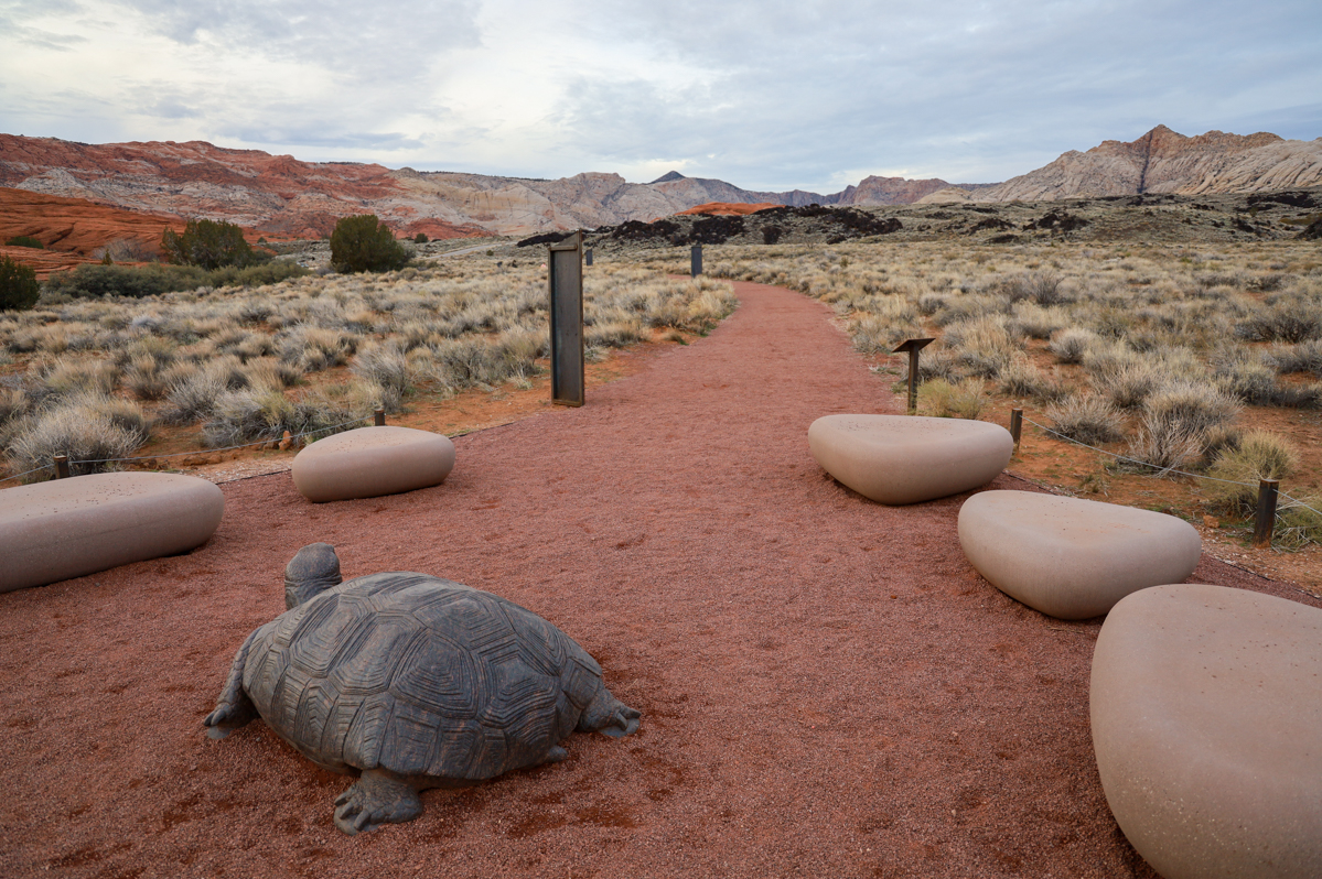
Located right off of Snow Canyon Parkway, the Kestrel trail provides direct access to the mid-point of the Scout Cave trail. The trail consists of a single dirt/sand path that follows the bed of Sand Hollow Wash in between residential developments and into the Red Cliffs Desert Reserve. With a one-way distance of 0.6 miles, Kestrel is often used as an alternative route to connect with the Scout Cave trail at its 1.2 mile mark. There is no parking at the entrance to Kestrel but visitors normally park on vacant, private ground on the south side of the Parkway across from the roundabout which is located about 300 yards to the northwest. They can then walk the paved sidewalk to trailhead and drop down into the wash. Visitors are obligated to respect private property rights. The trail is well marked and visitors are asked to stay on the path as surrounding land is private property.
Kestrel is a short and family friendly hike that provides an enjoyable route to Scout Cave.
TRAIL DETAILS
DIFFICULTY LEVEL
Easy
ROUND TRIP LENGTH
1.2 miles
AVERAGE HIKE TIME
GPS COORDINATES
Trailhead: 37.161667, -113.641278
Connection to Scout Cave: 37.167917, -113.635944
PROPERTY MANAGEMENT
Red Cliffs Desert Reserve, Snow Canyon State Park
DISTANCE FROM ST GEORGE
6.9 miles (12 mins driving)
RESTROOM FACILITIES
No Restroom Available
HIKERS ALLOWED
Yes
DOGS ALLOWED
Yes, on 6 ft leash
BIKERS ALLOWED
Yes
EQUESTRIAN ALLOWED
Yes
HIKE TYPE
Out & Back
BEST TIME OF THE YEAR TO HIKE
Great Year Round
BEST TIME OF THE DAY TO HIKE
Morning, Evening
GROUP LIMIT
No Limit
PERMIT INFORMATION
No Permit Required
COST
No Cost
WATER SOURCES AVAILABLE
No Water Sources Available
CAMP SITES
No Camping Available on Trail
TRAIL CONDITIONS
Dirt Single Track, Sandy
SUN EXPOSURE
Full Sun Exposure
DIRECTIONS TO TRAILHEAD
IMPORTANT: The “entrance” is located off of Snow Canyon Pwk right before the Ivins City Limit sign. There is no parking but visitors normally park on vacant, private ground on the south side of the Parkway across from the roundabout which is located about 300 yards to the northwest. The trail can then be accessed through the sidewalk. (Refer to first image above). Please respect private property rights.
Directions: From St. George, head West on 700 S until Bluff St. Turn right onto Bluff St and head north toward Pine Valley for about 3.5 miles. Take exit and turn left onto Snow Canyon Pwk at the light. Continue for about 4 miles. The start point for the trail is located off of Snow Canyon Pwk on the sidewalk.
FLORA AND FAUNA
Plants: Typical plant life for Southern Utah lowland hiking.
Animals: Typical animal life for Southern Utah lowland hiking.
TRAIL REPORT
Coming Soon.
ABOUT THE AUTHOR

Spencer McMullin
Spencer McMullin is originally from Connecticut but has deep ties to the Southern Utah area. His passion for adventure and photography has lead him to HikeStGeorge.


Leave a Reply
Want to join the discussion?Feel free to contribute!