Cottontail - Red Cliffs Desert Reserve
Difficulty Level: Easy
Distance: 1.3 miles round trip
TRAIL SUMMARY
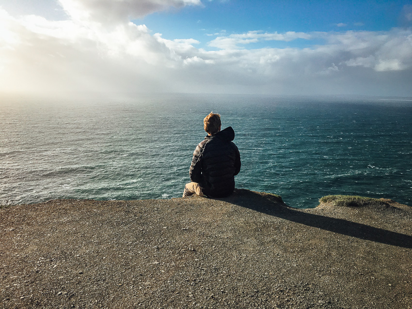
Cottontail trail is a short trail on the edge of the Green Springs neighbor. The trailhead is easy to notive as it is lined with gravel until a step-over and a sign marking the entrance. There is not any official parking so please be respectful of local homeowners. The trail connects with Middleton Powerline and is a great trail for walking a dog. Many flowers and wildlife are found along the path which is easy to follow. There is nothing really exciting about the path but there is some great views of the Red Cliffs Desert Reserve and the flora of the area. Overall, the trail is short and easy with a steady incline and great for those in the area looking to walk a dog or looking for a quick excursion into nature.
TRAIL DETAILS
DIFFICULTY LEVEL
Easy
ROUND TRIP LENGTH
1.3 miles round trip
AVERAGE HIKE TIME
GPS COORDINATES
PROPERTY MANAGEMENT
Red Cliffs Desert Reserve
DISTANCE FROM ST GEORGE
6.2 miles (13 mins driving)
RESTROOM FACILITIES
No Restroom Available
HIKERS ALLOWED
Yes
DOGS ALLOWED
Yes
BIKERS ALLOWED
No
EQUESTRIAN ALLOWED
Yes
HIKE TYPE
Out & Back
BEST TIME OF THE YEAR TO HIKE
Great Year Round
BEST TIME OF THE DAY TO HIKE
Morning, Evening
GROUP LIMIT
No Limit
PERMIT INFORMATION
No Permit Required
COST
No Cost
WATER SOURCES AVAILABLE
No Water Sources Available
CAMP SITES
No Camping Available on Trail
TRAIL CONDITIONS
Dirt Single Track, Sandy
SUN EXPOSURE
Full Sun Exposure


DIRECTIONS TO TRAILHEAD
Directions to Trailhead: Head north on S 700 E toward E 600 S. Take I-15 N to S Green Spring Dr/North Green Spring Drive in Washington. Take exit 10 from I-15 N. Continue on North Green Spring Drive. Drive to N Reserve Pkwy. Use any lane to turn slightly left onto S Green Spring Dr/North Green Spring Drive. Turn left onto N Concord Pkwy. Turn left onto N Reserve Pkwy.
There is not any official parking. Please be respectful of surrounding home owners.
FLORA AND FAUNA
Plants: Typical plant life for Southern Utah lowland hiking.
Animals: Typical animal life for Southern Utah lowland hiking.
TRAIL REPORT
Coming Soon.
ABOUT THE AUTHOR
Spencer McMullin
Spencer McMullin is originally from Connecticut but has deep ties to the Southern Utah area. His passion for adventure and photography has lead him to HikeStGeorge.


Leave a Reply
Want to join the discussion?Feel free to contribute!