Anasazi (Puebloan) Trail - Red Cliffs Archeological Site
Difficulty Level: Easy
Distance: 1.1 miles round trip
TRAIL SUMMARY
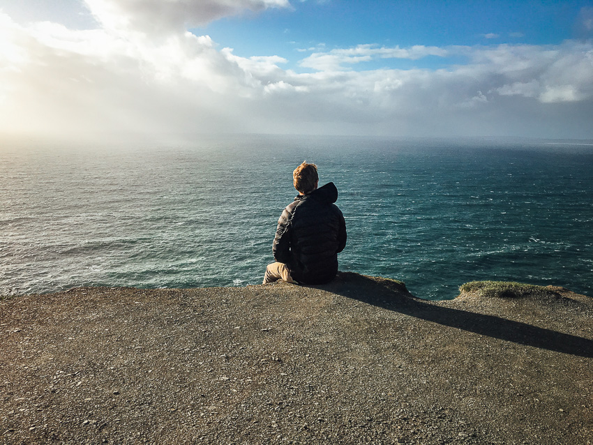
Located within the Red Cliffs Recreation Area, this trail leads to a site of Anasazi ruins. The trail is well marked and can accessed directly from the campgrounds. Hikers enjoy a scenic path equipped with a few benches along the route. The archeological site is about half a mile away from the trailhead and is full of many ruins. There are signs at the site that describe the culture and lifestyle of the Anasazi Puebloan civilization.
Access to Red Reef East and other parts of the recreation area can be found through the short trails Mano and Metate.
TRAIL DETAILS
DIFFICULTY LEVEL
Easy
ROUND TRIP LENGTH
1.1 miles round trip
AVERAGE HIKE TIME
GPS COORDINATES
PROPERTY MANAGEMENT
BLM, Red Cliffs Desert Reserve
DISTANCE FROM ST GEORGE
19.9 Miles (30 minutes driving)
RESTROOM FACILITIES
Flushing Toilets at Ranger Station/Lodge
HIKERS ALLOWED
Yes
DOGS ALLOWED
No
BIKERS ALLOWED
No
EQUESTRIAN ALLOWED
No
HIKE TYPE
Out & Back
BEST TIME OF THE YEAR TO HIKE
Spring, Fall, Winter
BEST TIME OF THE DAY TO HIKE
Morning, Evening
GROUP LIMIT
No Limit
PERMIT INFORMATION
No Permit Required
COST
$5.00 Day Use, $15.00 Camping Fee. Stop by the pay station for more information.
Interagency Annual, Access, Senior, Volunteer, and Military Passes are honored for day use fees only. All fees collected at this site are used to fund operations, improvements, and repairs at the recreation area.
WATER SOURCES AVAILABLE
No Water Sources Available, Water Available at Ranger Station/Lodge
CAMP SITES
No Camping Available on Trail, Camping Available only in Designated Camping Area
TRAIL CONDITIONS
Dirt Single Track, Sandy, Rocky
SUN EXPOSURE
Full Sun Exposure


DIRECTIONS TO TRAILHEAD
Directions to Trailhead. Take Interstate 15 north to Exit 22. At the end of the off-ramp, turn right onto Old Highway 91. Travel south 2 miles and turn right. Continue under two freeway tunnels (tunnels restrict vehicle size to less than 12 feet in height and width) and follow the paved road for 1.3 miles into the campground.
FLORA AND FAUNA
Plants: Typical plant life for Southern Utah lowland hiking.
Animals: Typical animal life for Southern Utah lowland hiking.
TRAIL REPORT
Coming Soon.
ABOUT THE AUTHOR
Spencer McMullin
Spencer McMullin is originally from Connecticut but has deep ties to the Southern Utah area. His passion for adventure and photography has lead him to HikeStGeorge.


Leave a Reply
Want to join the discussion?Feel free to contribute!