Mustang Pass - Red Cliffs Desert Reserve
Difficulty Level: Moderate
Distance: 5.4 miles round trip
TRAIL SUMMARY
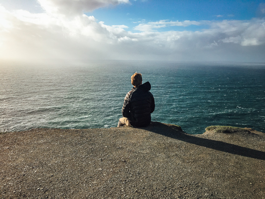
Mustang Pass is a hidden gem. Located off of Mill Creek, Mustang Pass features some great views and unique rock formations. About 1.2 miles into the trail, there are two large boulders also known as Signal Rock. The trail passes through various terrains but mainly follows a single dirt track. There is a steady incline about half a mile in. The path is very clear and easy to follow with signs and markers. It crosses Middleton Powerline and connects with Ice House trail. Overall Mustang Pass is a fun trail. Wildlife and flora line the path. Because of its length and incline, this trail is considered easy to moderate. If you chose to access it from Mill Creek, look for a sing about 1.7 miles into Mill Creek.
TRAIL DETAILS
DIFFICULTY LEVEL
Moderate
ROUND TRIP LENGTH
5.4 miles round trip
AVERAGE HIKE TIME
GPS COORDINATES
PROPERTY MANAGEMENT
Red Cliffs Desert Reserve
DISTANCE FROM ST GEORGE
6.5 miles (16 mins driving)
RESTROOM FACILITIES
No Restroom Available
HIKERS ALLOWED
Yes
DOGS ALLOWED
Yes, on 6 ft leash
BIKERS ALLOWED
Yes
EQUESTRIAN ALLOWED
Yes
HIKE TYPE
Out & Back
BEST TIME OF THE YEAR TO HIKE
Great Year Round
BEST TIME OF THE DAY TO HIKE
Morning, Evening
GROUP LIMIT
No Limit
PERMIT INFORMATION
No Permit Required
COST
No Cost
WATER SOURCES AVAILABLE
No Water Sources Available
CAMP SITES
No Camping Available on Trail
TRAIL CONDITIONS
Dirt Single Track, Sandy, Rocky
SUN EXPOSURE
Full Sun Exposure


DIRECTIONS TO TRAILHEAD
Directions to Trailhead: From St George, head north on I-15 for about 9 miles and take exit 10 to Washington. Turn left onto Green Springs Drive and take an immediate right onto Buena Vista Blvd. Follow Buena Vista for about 1 mile and turn left onto the dirt road immediately after the fire station. Follow this dirt road for about 1.2 miles and it will meet up with another dirt road that is heading north-south. Turn left onto this dirt road and follow it for about 0.6 miles and your will come to the gate and trailhead.
The link above leads to the Mill Creek trailhead. From here, follow Mill Creek trail for about 1.7 miles. Mustang Pass will begin on the left. There is a sign.
FLORA AND FAUNA
Plants: Typical plant life for Southern Utah lowland hiking.
Animals: Typical animal life for Southern Utah lowland hiking.
TRAIL REPORT
Coming Soon.
ABOUT THE AUTHOR
Spencer McMullin
Spencer McMullin is originally from Connecticut but has deep ties to the Southern Utah area. His passion for adventure and photography has lead him to HikeStGeorge.


Leave a Reply
Want to join the discussion?Feel free to contribute!