EMERALD POOL LOWER – ZION NATIONAL PARK
Difficulty Level: Easy
Distance: 1.2 miles
TRAIL SUMMARY
The Lower Emerald Pool Trail is part of a trail system in Zion National Park that leads to three beautiful pools and, at the right times of the year, two magnificent water falls. This trail begins by the Zion Lodge and crosses over the Virgin River on one of the many walking bridges that Zion is known for. The trail meanders along the river and then turns to the west and heads up Heaps Canyon. This hike features many clear views up the main canyon toward Angels Landing, and sheer Navajo Sandstone cliffs that reach toward the sky. The Lower Emerald Pool trail is wheelchair and stroller accessible, and is a great trip for adventurers of all ages. The trail leads to a waterfall that falls over an alcove into a couple of clear pools. The pools are not open to bathing, but are fun to look at, and hikers can get a refreshing little shower from the mist of the waterfalls before heading back!
Alternative connection and route via Kayenta Trail.
TRAIL DETAILS
DIFFICULTY LEVEL
Easy
ROUND TRIP LENGTH
1.2 miles
AVERAGE HIKE TIME
1 hour
GPS COORDINATES
PROPERTY MANAGEMENT
Zion National Park
DISTANCE FROM ST GEORGE
50 Miles (1 hour 10 minutes driving)
RESTROOM FACILITIES
Flushing Toilets at Ranger Station/Lodge
HIKERS ALLOWED
Yes
DOGS ALLOWED
No
BIKERS ALLOWED
No
EQUESTRIAN ALLOWED
No
HIKE TYPE
Out & Back
BEST TIME OF THE YEAR TO HIKE
Great Year Round
BEST TIME OF THE DAY TO HIKE
Morning, Afternoon
GROUP LIMIT
No Limit
PERMIT INFORMATION
No Permit Required
WATER SOURCES AVAILABLE
Water Available at Ranger Station/Lodge
CAMP SITES
No Camping Available on Trail, Camping Available only in Designated Camping Area
TRAIL CONDITIONS
Asphalt, Concrete
SUN EXPOSURE
Full Sun Exposure


DIRECTIONS TO TRAILHEAD
Directions to Trailhead. From St George, head north on I-15 for about 18 miles and take exit 27 to Toquerville. Turn right on UT-17 and follow it for 6 miles. Turn left onto UT-9 and follow it for approximately 20 miles until you come to the park entrance. If parking is full inside the park, you can park in the town of Springdale and ride the shuttle up to the park. If you visit the park during the time the shuttles aren’t running, continue into the park for a couple of miles and turn left onto Floor of the Valley Road and continue for 2.7 miles. Park in the Zion Lodge Parking lot. The trailhead is on the opposite side of the road.
FLORA AND FAUNA
Plants: Typical plant life for Southern Utah lowland hiking.
Animals: Typical animal life for Southern Utah lowland hiking.
TRAIL REPORT
Coming Soon!
ABOUT THE AUTHOR
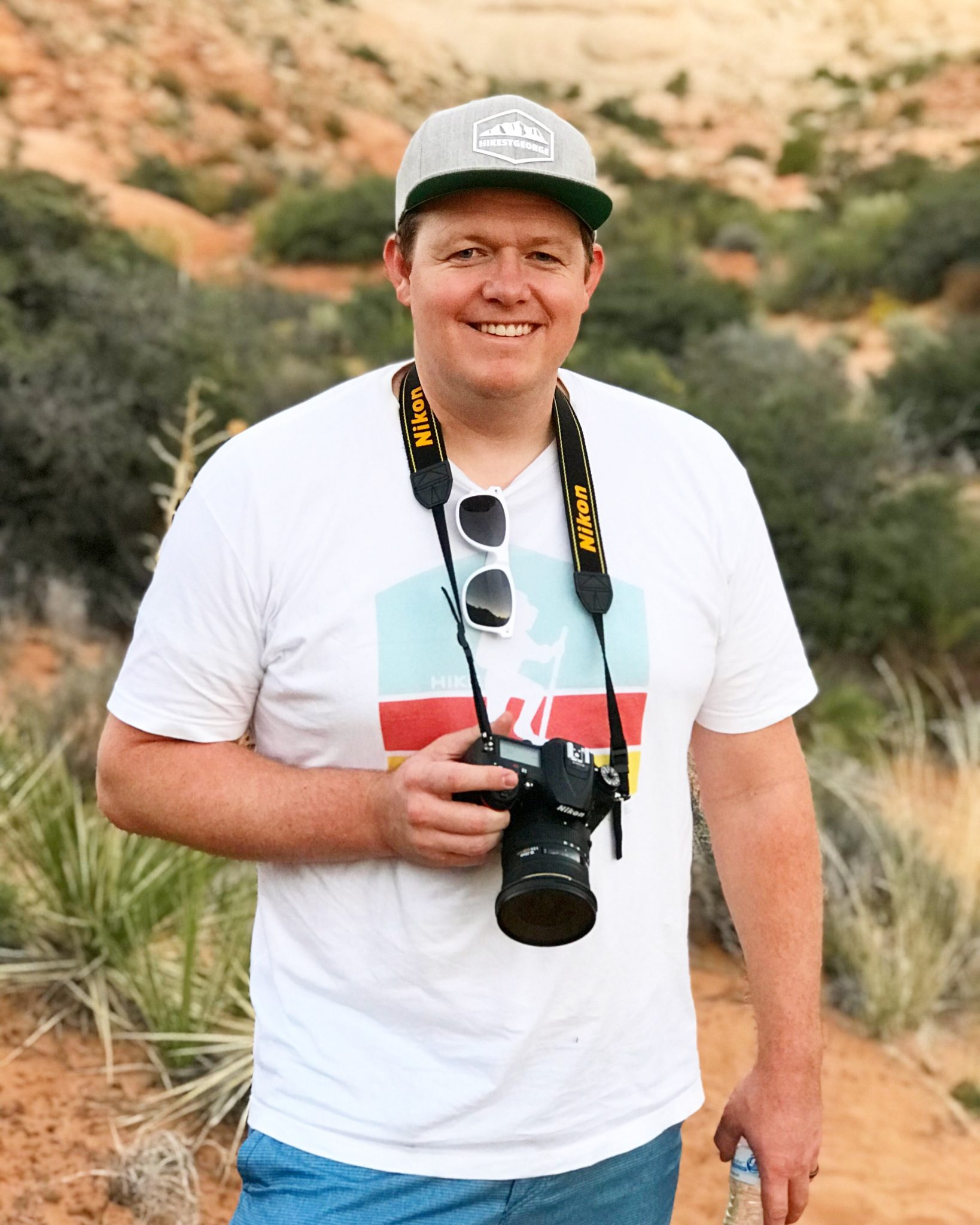
Tim LeBaron
HikeStGeorge is a project that began as a seedling for Tim LeBaron in the early part of 2008, but really didn’t begin to blossom until the latter part of 2011. The original idea behind the site was to bring to light all of the harder to find, or “less known” hidden gems of the area. It was more of a pet project than anything. As excitement about the site began to spread, there was more of a push to develop information about all hikes in the Southern Utah Region.


Leave a Reply
Want to join the discussion?Feel free to contribute!