You are here: Home / PROSPECTOR TRAIL – WASHINGTON, UT
PROSPECTOR TRAIL – WASHINGTON, UT
Difficulty Level: Intermediate
Distance: 16.5 miles round-trip
TRAIL SUMMARY
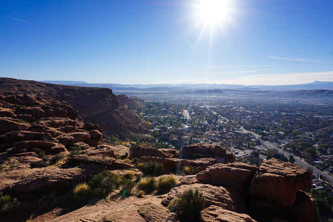
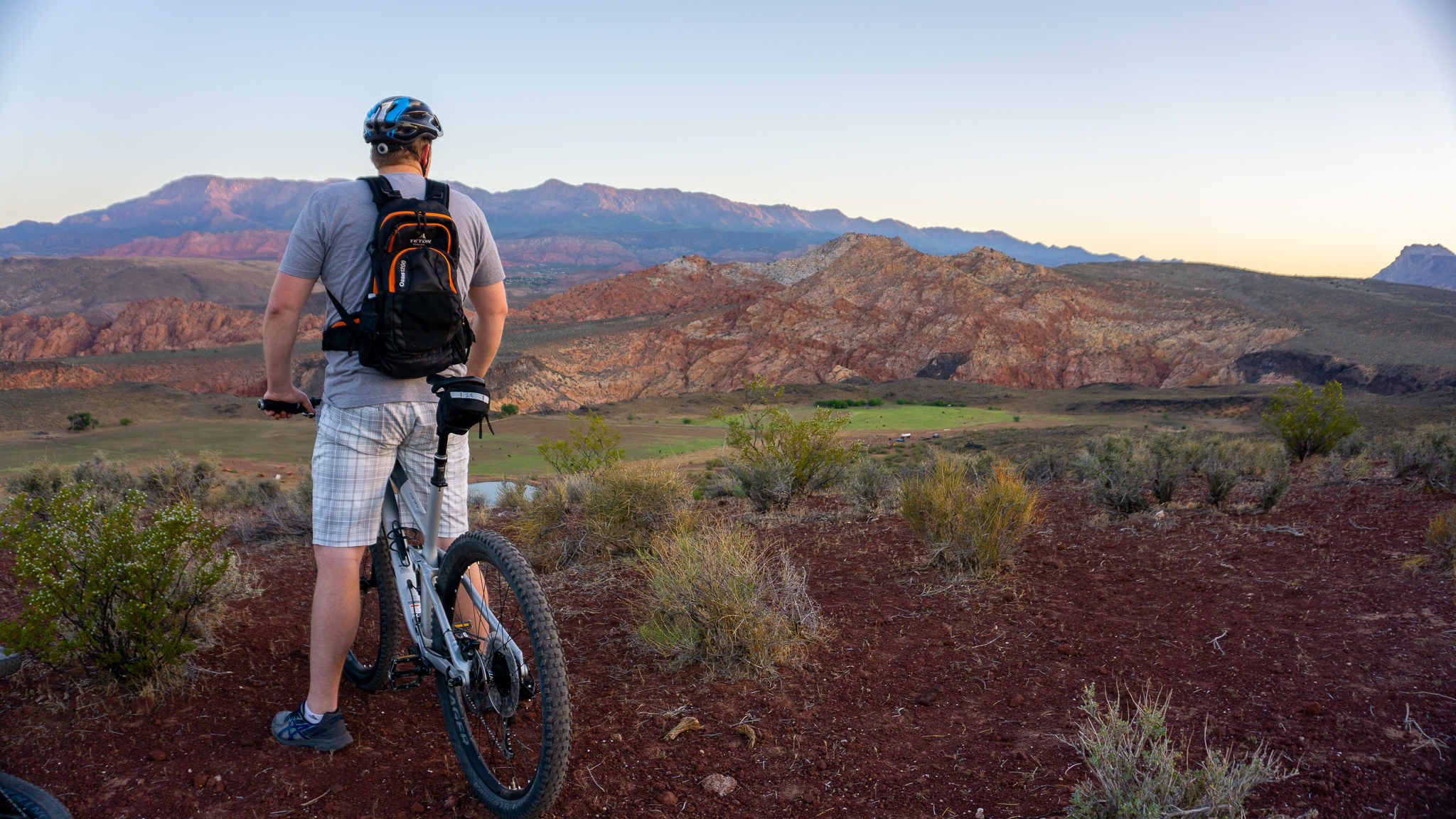
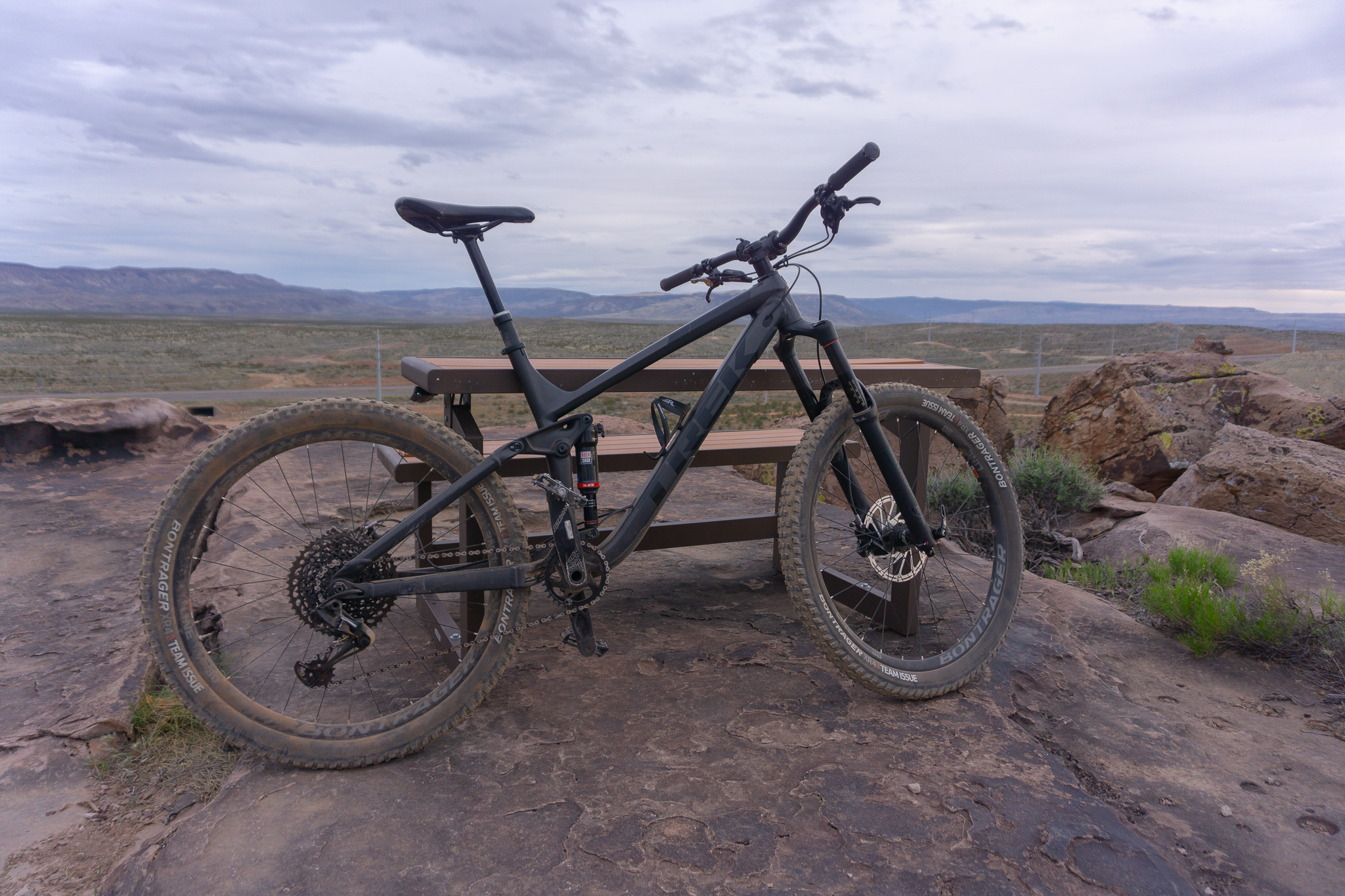
Prospector is a fun cross-country trail that lies to the West of I-15. A large portion of the trail is rated as beginner, with some technical spots throughout. This is one of the few trails that I like to ride a hardtail on as it isn’t as rocky as other trails in the area. There are also three different entry and exit points on the trail, one at the start, end, and middle, which makes it easy to only do a small portion of the trail. With fast downhill and slickrock portions, Prospector makes for a fun ride!
TRAIL DETAILS
DIFFICULTY LEVEL
Intermediate
ROUND TRIP LENGTH
16.5 miles
AVERAGE RIDE TIME
2 hours
GPS COORDINATES
PUBLIC BIKE WORK STAND
No
PROPERTY MANAGEMENT
BLM
DISTANCE FROM ST GEORGE
6.5 Miles (10 minutes driving)
RESTROOM FACILITIES
No Restroom Available
HIKERS ALLOWED
Yes
DOGS ALLOWED
Yes
BIKERS ALLOWED
Yes
EQUESTRIAN ALLOWED
Yes
RIDE TYPE
Out & Back
BEST TIME OF THE YEAR TO RIDE
Great Year Round
BEST TIME OF THE DAY TO RIDE
Morning, Afternoon
GROUP LIMIT
No Limit
PERMIT INFORMATION
No Permit Required
COST
No Cost
WATER SOURCES AVAILABLE
No Water Sources Available
CAMP SITES
No Camping Available
TRAIL CONDITIONS
Dirt Single Track, Slick Rock, Sandy
SUN EXPOSURE
Full Sun Exposure


DIRECTIONS TO TRAILHEAD
Get Directions to Grapevine Trail Head. Head north on I-15 for 4.2 miles and take Exit 13 to Washington Parkway. Turn left and cross the freeway, then park in the dirt parking lot on the right. Ride your bike up the dirt road (Grapevine Trail) and continue straight at the first right for about .5 mile which will put you on Prospector Trail. There is a fairly technical downhill portion at this part so take caution.
Get Directions to Cottonwood Trailhead. Head North on I-15 for 4.2 miles and take Exit 16 towards Hurricane. Continue towards Hurricane for about a mile and turn left at the Chevron. Follow the road for about 2 miles. Just past Winkel Distributing is a dirt road to the left. Take it under the freeway and you’ll arrive at the trailhead. This is one of the most popular trailheads since it’s in the middle of Prospector so you’ll be able to choose if you want to ride the North or South portions of the trail.
Get Directions to Harrisburg Trailhead. Head North on I-15 for 4.2 miles and take Exit 16 towards Hurricane. Continue towards Hurricane until you reach the turnoff for Quail Creek Reservoir, and make the turn for the Reservoir. Drive for about a mile until you reach an intersection, then turn right towards Harrisburg. Drive a few hundred feet, passing the KOA, and turn left onto the underpass. Go under the freeway then on your right there’s a parking lot. Park, then ride back towards the underpass but keep going straight. The road will turn and you’ll eventually see the trailhead to the left.
FLORA AND FAUNA
Plants: Typical plant life for Southern Utah lowland hiking.
Animals: Typical animal life for Southern Utah lowland hiking.
TRAIL REPORT
Infromation Coming
ABOUT THE AUTHOR

Dallin Spackman


Leave a Reply
Want to join the discussion?Feel free to contribute!