You are here: Home / NEPHI’S TWIST – HURRICANE CLIFFS, UT
NEPHI’S TWIST – HURRICANE CLIFFS, UT
Difficulty Level: Expert
Distance: 2.47 miles one-way
TRAIL SUMMARY
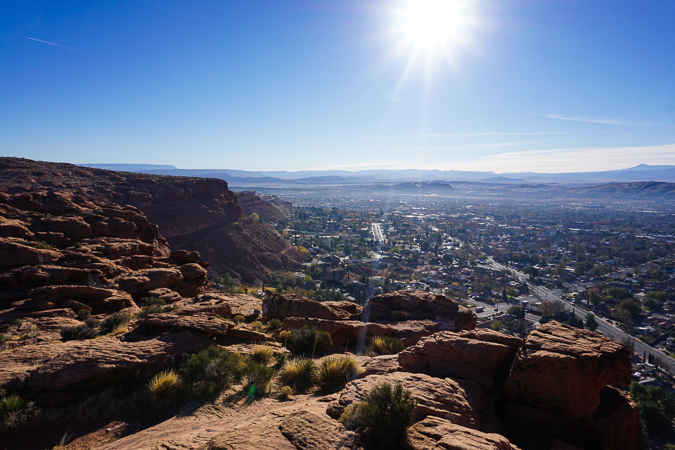
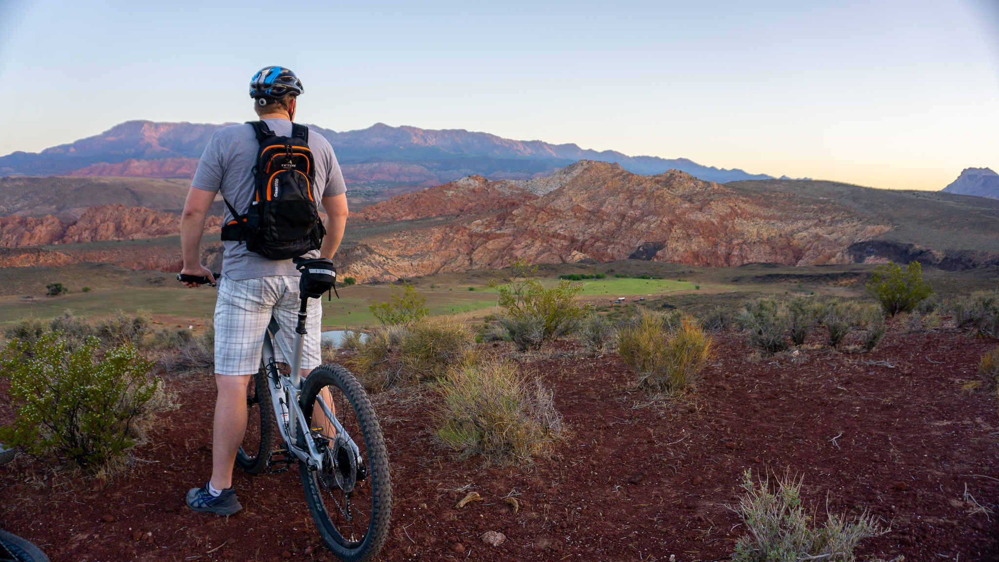
Southern Utah is known to have some of the gnarliest downhill riding and Nephi’s Twist is the perfect example of this. The little-known trail is full of jumps, drops, berms, and exposed ridgelines that will be a thrill for even the most experienced riders! That being said, this is a highly technical trail and extreme caution should be taken before riding it– a full face helmet and protective gear are highly recommended and it should never be ridden alone. This is a downhill specific trail so it is advised to shuttle it with two vehicles.
TRAIL DETAILS
DIFFICULTY LEVEL
Expert
ROUND TRIP LENGTH
2.47 miles
AVERAGE RIDE TIME
20 minutes
GPS COORDINATES
PUBLIC BIKE WORK STAND
No
PROPERTY MANAGEMENT
BLM
DISTANCE FROM ST GEORGE
21 Miles (30 minutes driving)
RESTROOM FACILITIES
No Restroom Available
HIKERS ALLOWED
Yes
DOGS ALLOWED
Yes
BIKERS ALLOWED
Yes
EQUESTRIAN ALLOWED
No
RIDE TYPE
Out & Back
BEST TIME OF THE YEAR TO RIDE
Great Year Round
BEST TIME OF THE DAY TO RIDE
Morning, Afternoon
GROUP LIMIT
No Limit
PERMIT INFORMATION
No Permit Required
COST
No Cost
WATER SOURCES AVAILABLE
No Water Sources Available
CAMP SITES
No Camping Available
TRAIL CONDITIONS
Dirt Single Track
SUN EXPOSURE
Full Sun Exposure


DIRECTIONS TO TRAILHEAD
It is suggested to shuttle this trail since it is downhill specific.
Get directions to trailhead. From I-15 head North, and take Exit 16 towards Hurricane on State St. About 12 miles on State St. (just past La Verkin) turn right onto Highway 9 towards Zion National Park. About a mile later at the top of the hill, there will be a sharp left turn onto a dirt road, which leads to the La Verkin Shooting Range. Park at the range, it’s best to ride bikes from here. Take the first road on the left and then take the right road at the fork in about .25 mile. Follow that main road for another .25 mile, then turn left onto another dirt road. Follow this road for about .5 mile, and the trailhead will be on the left. It is currently an unmarked trailhead and is hard to find anywhere on the internet, so be sure to look at our trail map to know where to go.
Get directions to trailend. From I-15 head North, and take Exit 16 towards Hurricane on State St. About 13 miles on State St. (just past La Verkin) turn right onto South Zions Parkway. Drive for .25 mile, then make a right onto Glen Canyon St., then make a left onto Grand Canyon Parkway. Continue for .25 mile and the road will turn into a dirt road and will contain a small area to park.
FLORA AND FAUNA
Plants: Typical plant life for Southern Utah lowland hiking.
Animals: Typical animal life for Southern Utah lowland hiking.
TRAIL REPORT
Information Coming
ABOUT THE AUTHOR

Dallin Spackman


Leave a Reply
Want to join the discussion?Feel free to contribute!