You are here: Home / CHURCH ROCKS TRAIL – ST GEORGE, UT
CHURCH ROCKS TRAIL – ST GEORGE, UT
Difficulty Level: Intermediate
Distance: 6 miles round-trip
TRAIL SUMMARY
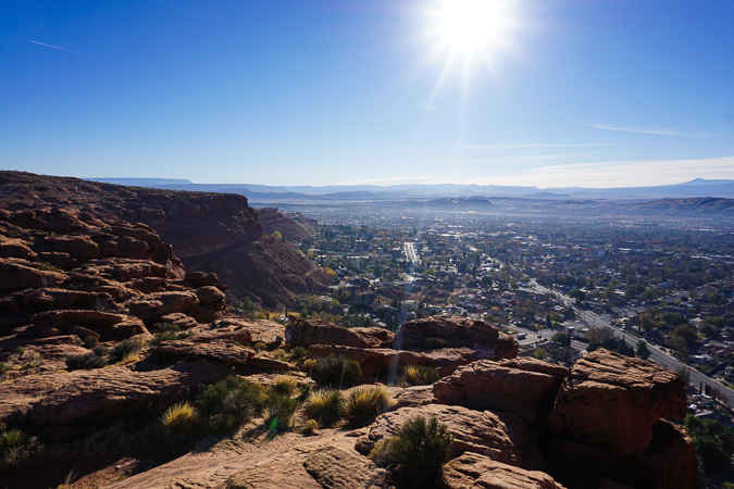
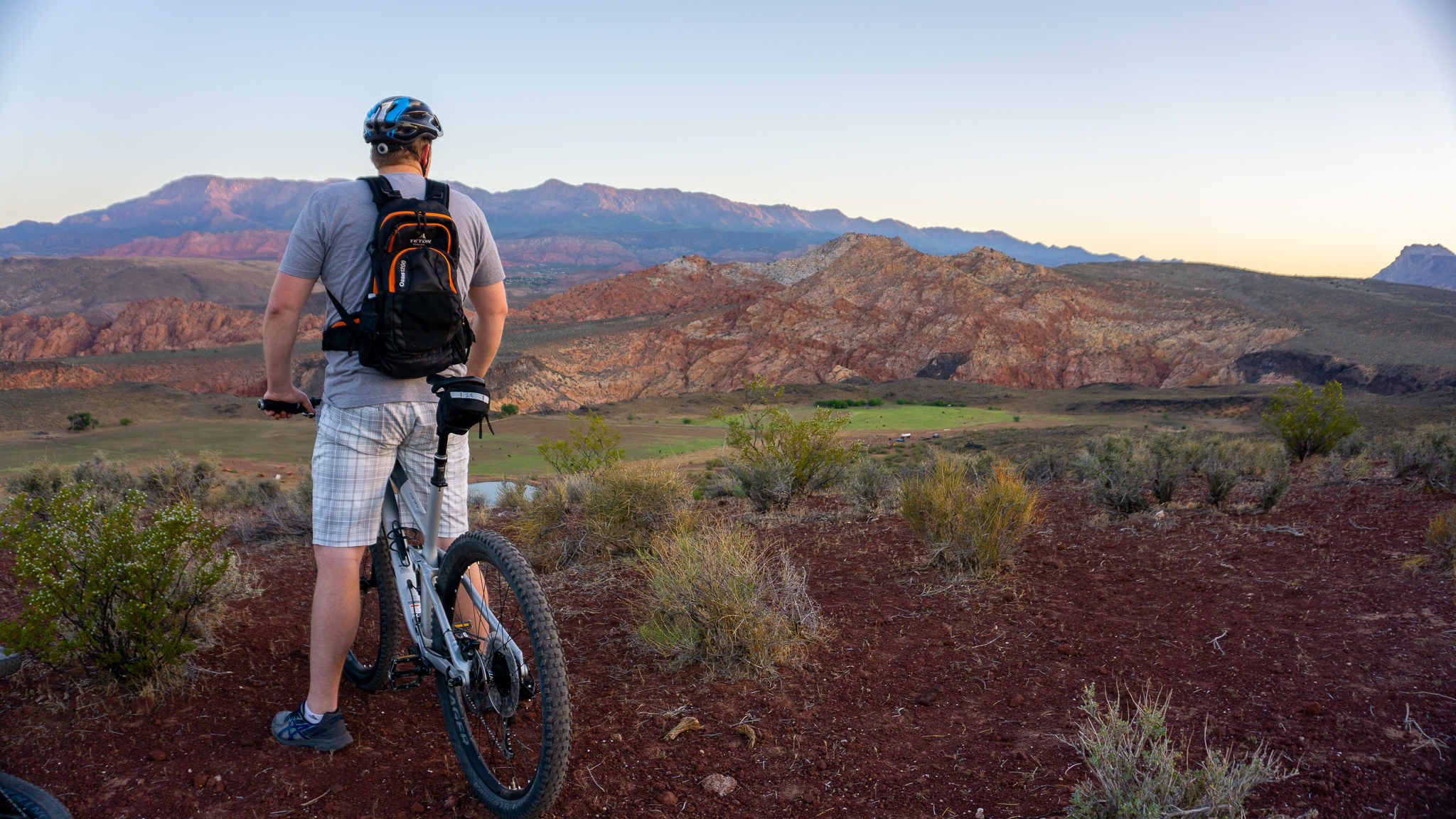
Church Rocks is the mini Moab of St George. With tons of slickrock, drops, and fast descents, this is one of my favorite trails close to town! This is an intermediate trail with some reasonably techy decents. One of my favorite things about Church Rocks is that a few of the entrances and exits go under the freeway in drainage tubes that are big enough to ride in.
TRAIL DETAILS
DIFFICULTY LEVEL
Intermediate
ROUND TRIP LENGTH
6 miles
AVERAGE RIDE TIME
50 mins
GPS COORDINATES
Grapevine Trailhead: 37.149722, -113.490528
Maverik Trailhead: 37.145083, -113.485389
PUBLIC BIKE WORK STAND
No
PROPERTY MANAGEMENT
Red Cliffs Desert Reserve
DISTANCE FROM ST GEORGE
Grapevine Trailhead: 6.6 Miles (10 minutes driving) Maverik Trailhead: 7.4 Miles (15 minutes driving) North Casita Trailhead: 7.5 Miles (13 minutes driving)
RESTROOM FACILITIES
No Restroom Available
HIKERS ALLOWED
Yes
DOGS ALLOWED
Yes
BIKERS ALLOWED
Yes
EQUESTRIAN ALLOWED
Yes
RIDE TYPE
Out & Back
BEST TIME OF THE YEAR TO RIDE
Great Year Round
BEST TIME OF THE DAY TO RIDE
Morning, Afternoon
GROUP LIMIT
No Limit
PERMIT INFORMATION
No Permit Required
COST
No Cost
WATER SOURCES AVAILABLE
No Water Sources Available
CAMP SITES
No Camping Available
TRAIL CONDITIONS
Dirt Single Track, Dirt Double Track, Slick Rock, Sandy
SUN EXPOSURE
Full Sun Exposure


DIRECTIONS TO TRAILHEAD
Get Directions to Grapevine Trail Head. Head north on I-15 for 4.2 miles and take Exit 13 to Washington Parkway. Turn left and cross the freeway, then park in the dirt parking lot on the right. Ride your bike up the dirt road (Grapevine Trail) and continue straight at the first right about .5 mile which will put you on Prospector Trail. Prospector will eventually fork, and at this point you can either turn left or right. If you turn left, you’ll follow the trail for about 200 ft, then turn right and you’re on Church Rocks. Turning right will lead you right to Church Rocks, though my preferred way is turning left.
Get Directions to Maverik Trail Head. Head north on I-15 for 4.2 miles and take Exit 13 to Washington Parkway. Turn right on Washington Parkway. At the traffic circle take the 3rd exit onto 1100 E. Park on the side of the road and get ready to ride!
FLORA AND FAUNA
Plants: Typical plant life for Southern Utah lowland hiking.
Animals: Typical animal life for Southern Utah lowland hiking.
TRAIL REPORT
Information Coming
ABOUT THE AUTHOR

Dallin Spackman


Leave a Reply
Want to join the discussion?Feel free to contribute!