You are here: Home / CHUCKWALLA BIKING TRAIL – ST GEORGE, UT
CHUCKWALLA BIKING TRAIL – ST GEORGE, UT
Difficulty Level: Intermediate
Distance: 4.2 miles round-trip
TRAIL SUMMARY
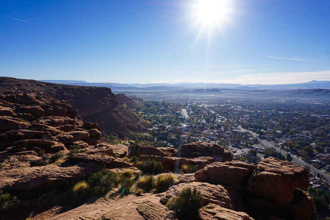
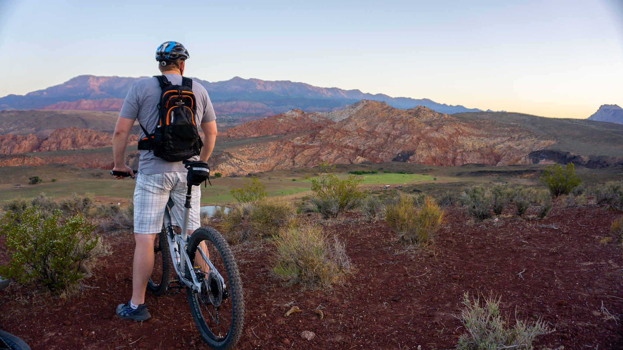
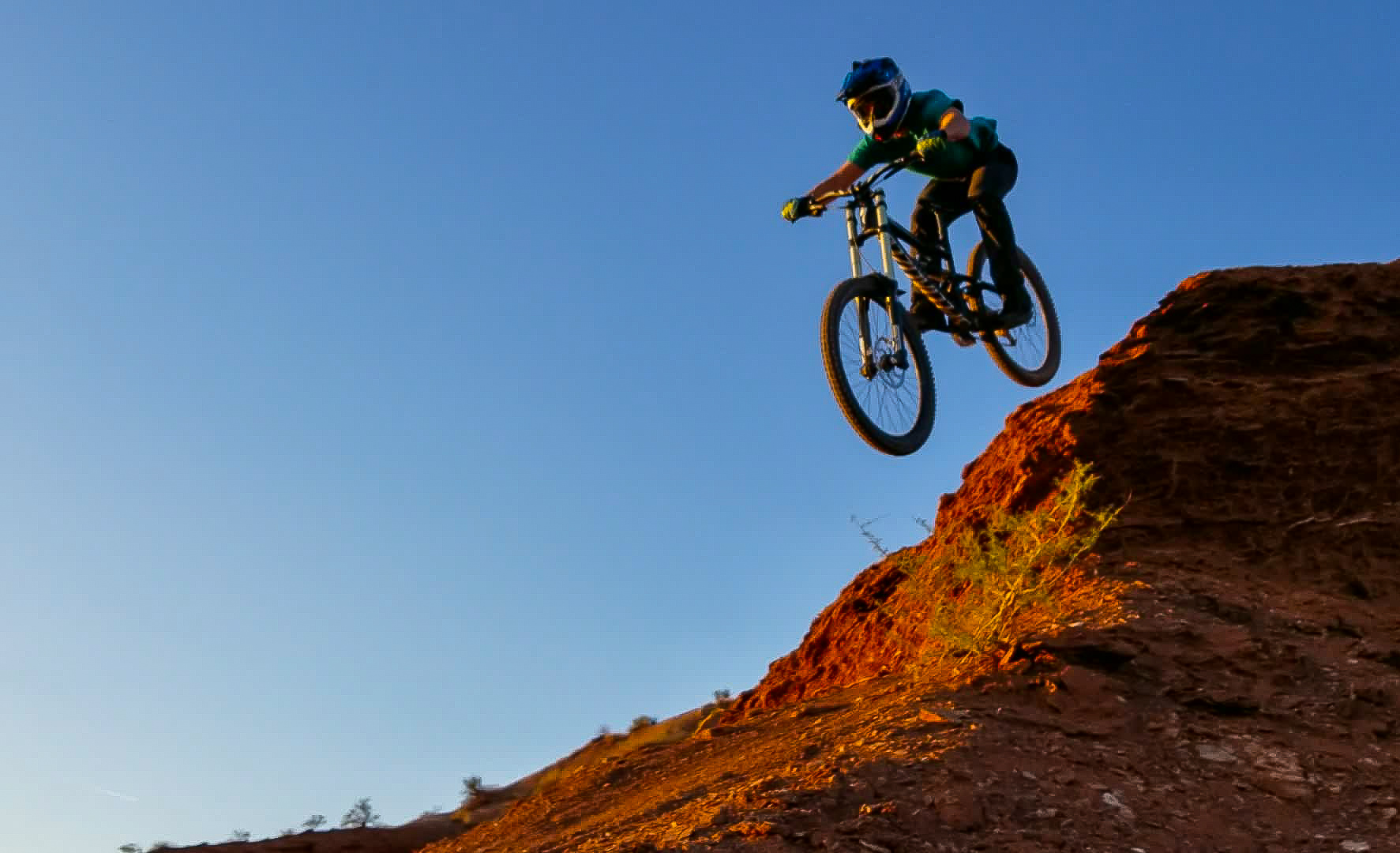
Chuckawalla to Paradise Rim is an awesome trail system with just about every terrain that Southern Utah has to offer, from slick rock to dirt single track. This is an intermediate rated trail, which gets especially techy on the decent. Don’t let this discourage you though. This trail system will reward you with sweeping views of Santa Clara and some fast paced rocky descents. Every trail in the system is fun, but it is noted that Beck Hill trail is very sandy which may only be rideable by fat bikes. This is my go to trail since it is always guaranteed to put a smile on my face!
TRAIL DETAILS
DIFFICULTY LEVEL
Intermediate
ROUND TRIP LENGTH
4.2 miles
AVERAGE RIDE TIME
45 mins
GPS COORDINATES
Chuckwalla Trail Head: 37.138334, -113.604673
Half Way Washington Trail Head Trailhead: 37.138533, -113.612930
The Gap Trail Head: 37.144168, -113.619622
PUBLIC BIKE WORK STAND
No
PROPERTY MANAGEMENT
BLM, Red Cliffs Desert Reserve
DISTANCE FROM ST GEORGE
Chuckwalla Trail Head: 4.3 miles (10 minutes driving) Half Way Washington Trail Head Trailhead: 5.3 miles (11 minutes driving) The Gap Trail Head: 5.3 miles (13 minutes driving)
RESTROOM FACILITIES
Vault Toilets at Trailhead
HIKERS ALLOWED
Yes
DOGS ALLOWED
Yes
BIKERS ALLOWED
Yes
EQUESTRIAN ALLOWED
Yes
RIDE TYPE
Out & Back, Shuttle
BEST TIME OF THE YEAR TO RIDE
Great Year Round
BEST TIME OF THE DAY TO RIDE
Morning, Afternoon
GROUP LIMIT
No Limit
PERMIT INFORMATION
No Permit Required
COST
No Cost
WATER SOURCES AVAILABLE
No Water Sources Available
CAMP SITES
No Camping Available
TRAIL CONDITIONS
Dirt Single Track, Slick Rock, Sandy
SUN EXPOSURE
Partial Sun Exposure


DIRECTIONS TO TRAILHEAD
Get Directions to Trail Head. From St George, go West to Santa Clara, and drive through most of the town. Turn left onto Gates Ln, or just before the Jacob Hamblin house. Go straight until you reach the dirt road, then either park if you don’t have a good 4wheel drive vehicle, or continue on the road for approximately .25mi or until you reach the fork in the road. Take the first right, and continue until you reach the Cove Wash Trailhead.
From the trailhead I usually ride the loop clockwise by starting on Sidewinder which will eventually turn right into Barrel Roll. This trail can also be done counter-clockwise.
FLORA AND FAUNA
Plants: Typical plant life for Southern Utah lowland hiking.
Animals: Typical animal life for Southern Utah lowland hiking.
TRAIL REPORT
Information Coming
ABOUT THE AUTHOR

Dallin Spackman


Leave a Reply
Want to join the discussion?Feel free to contribute!