You are here: Home / WIRE MESA TRAIL – HURRICANE CLIFFS, UT
WIRE MESA TRAIL – HURRICANE CLIFFS, UT
Difficulty Level: Intermediate
Distance: 7.4 miles round-trip
TRAIL SUMMARY
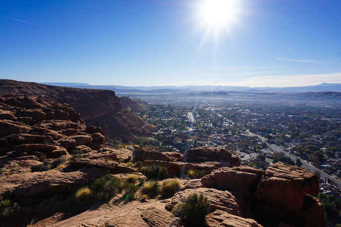
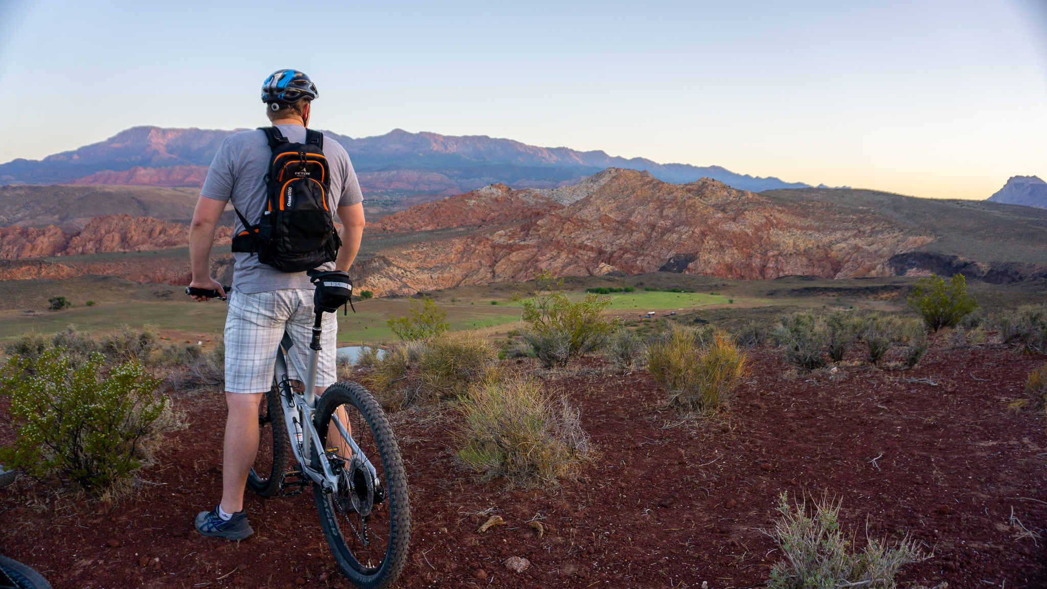
Wire Mesa sits just a few miles from its older sibling- Gooseberry Mesa, and offers the same great views and riding on a smaller scale. The trail moves along the edges of sheer cliffs at some spots offering spectacular views of the beginning of Zion Canyon. I like this area because it has some small trees and is more mountainous than St George, so it’s a good way to mix things up. There are some technical spots along the trail, most of which offer an easy trail option next to it. Wire Mesa is a great way to experience the technicality of Gooseberry Mesa combined with the flow of Jem.
TRAIL DETAILS
DIFFICULTY LEVEL
Intermediate
ROUND TRIP LENGTH
7.4 miles
AVERAGE RIDE TIME
1 hour
GPS COORDINATES
PUBLIC BIKE WORK STAND
No
PROPERTY MANAGEMENT
BLM
DISTANCE FROM ST GEORGE
37 Miles (49 minutes driving)
RESTROOM FACILITIES
No Restroom Available
HIKERS ALLOWED
Yes
DOGS ALLOWED
Yes
BIKERS ALLOWED
Yes
EQUESTRIAN ALLOWED
No
RIDE TYPE
Out & Back
BEST TIME OF THE YEAR TO RIDE
Great Year Round
BEST TIME OF THE DAY TO RIDE
Morning, Afternoon
GROUP LIMIT
No Limit
PERMIT INFORMATION
No Permit Required
COST
No Cost
WATER SOURCES AVAILABLE
No Water Sources Available
CAMP SITES
Dispersed Camping Available
TRAIL CONDITIONS
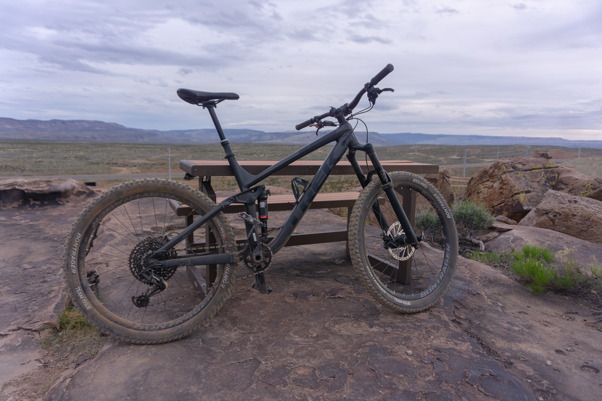
Dirt Single Track, Slick Rock
SUN EXPOSURE
Full Sun Exposure


DIRECTIONS TO TRAILHEAD
Get directions to trailhead. Get on I-15 and head North for 6.8 miles. Take exit 16 for Hwy 9 toward Hurricane and continue for 9.7 miles. From Hurricane turn right on Main Street and continue one block. Turn left onto 100 S/Highway 59 and continue for 14 miles (15 minutes driving time) and there will be a large sign just past Apple Valley marking the road to Gooseberry Mesa, which is Main Street. This is an unpaved road, but is well maintained. Follow that road for about 15 minutes and continue past the Gooseberry Mesa turnoff and Main Street will turn into Bench Road. Wire Mesa is a few minutes beyond that and is marked with a sign.
FLORA AND FAUNA
Plants: Typical plant life for Southern Utah lowland hiking.
Animals: Typical animal life for Southern Utah lowland hiking.
TRAIL REPORT
Information Coming
ABOUT THE AUTHOR

Dallin Spackman


Leave a Reply
Want to join the discussion?Feel free to contribute!